Tregaskis Photographs #16-30
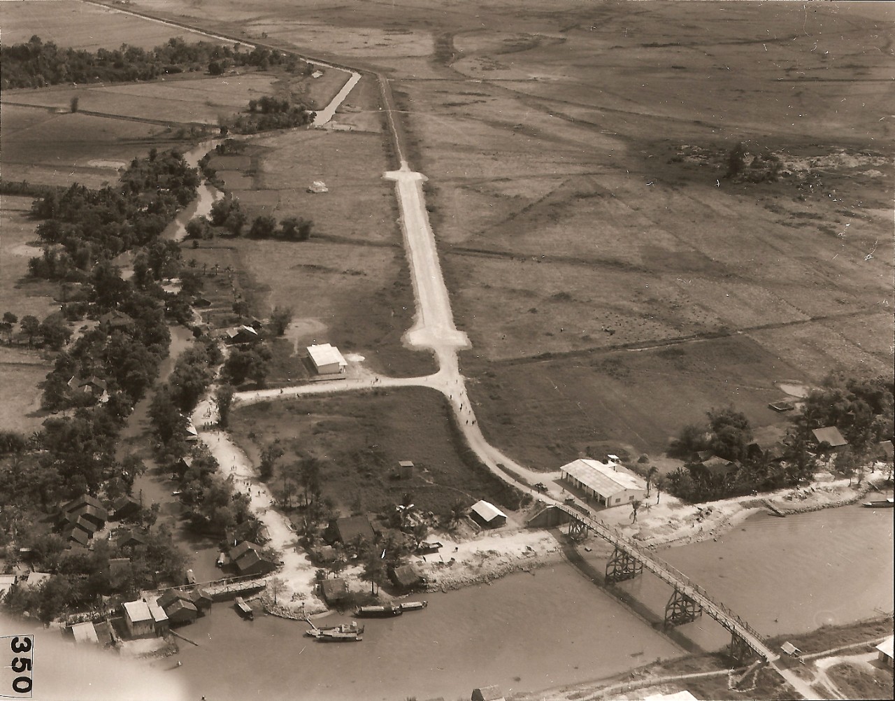
16. Nui Sap Airstrip. Located at An Giang, about 80 miles southwest of Saigon. This airstrip was literally only a widening of the road. It served the adjacent Nui Sap Quarry, which provided crushed rock for the entire Mekong Delta Region.
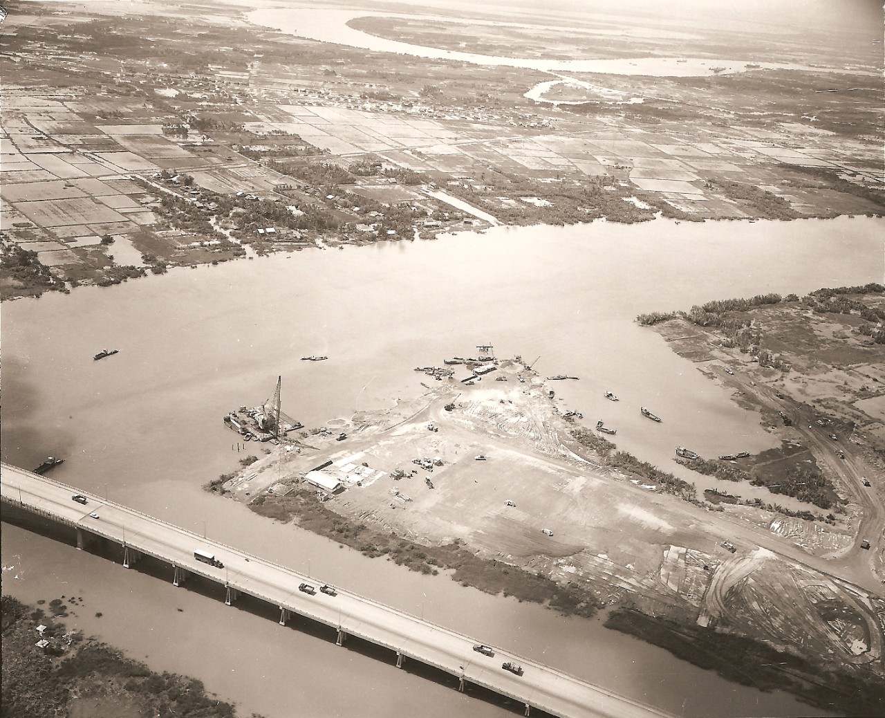
17. Newport (Saigon)-Early View. A rice paddy, two miles north of Saigon, was selected for a "new port" to alleviate the jam-up of freighters waiting to unload-some, as long as 30-40 days. The pile driver barge in the photo is in the process of driving 1,144 piles to form the shallow draft section of the port. Some 500 of these piles had to be driven an average of 135 feet.
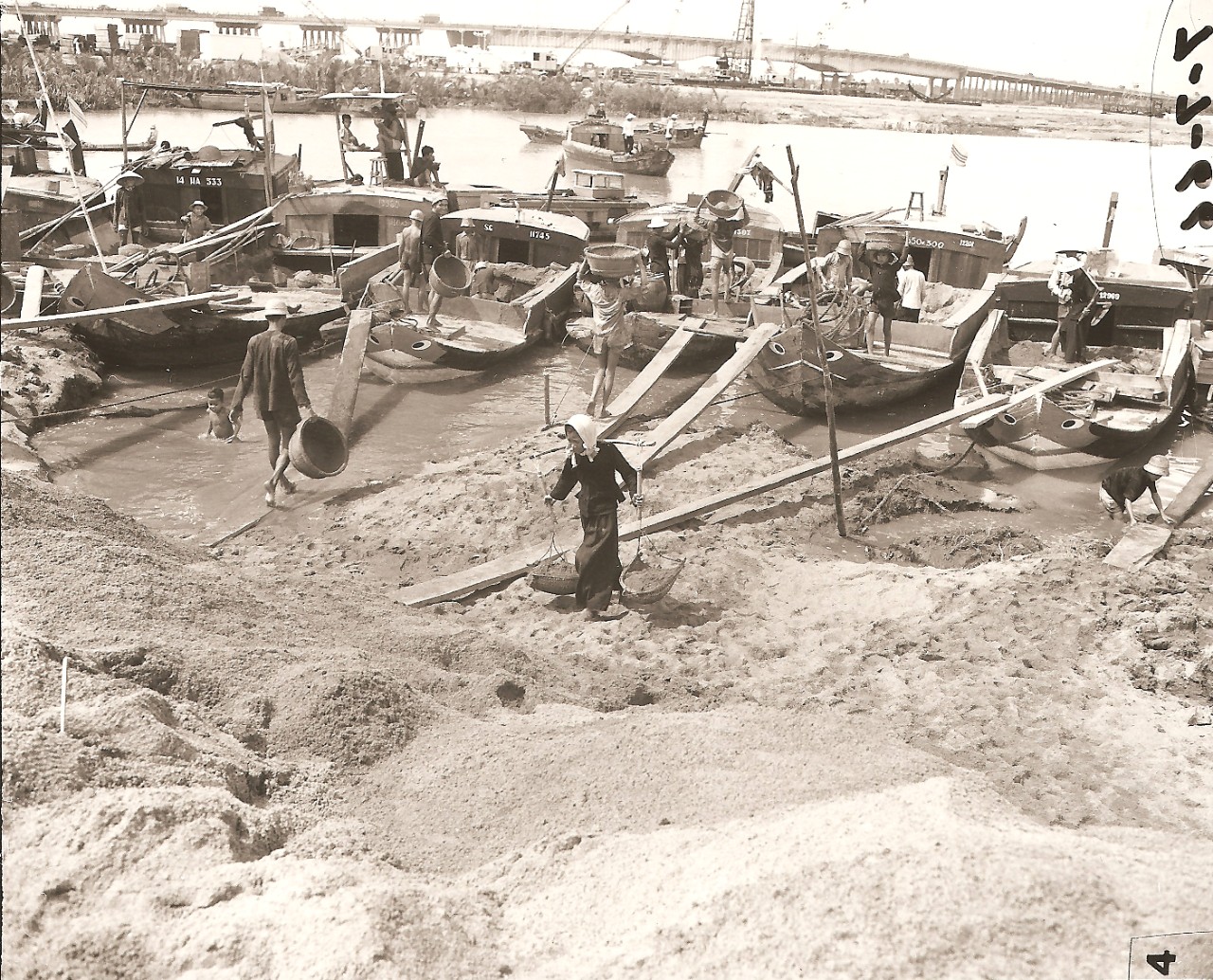
18. Newport (Saigon) - In Construction. Since the Saigon River bottom was silt, dredged fill from the river could not be used and fill had to be brought in from other areas. Sand was brought in at the race of 7,000 cubic meters a day; and, unbelievably, about 3,000 cubic meters of this was delivered by sampans.
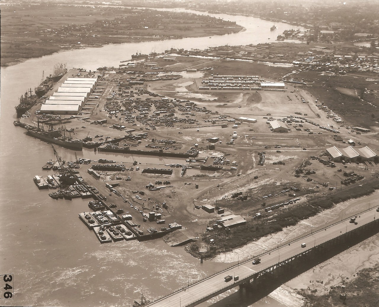
19. Newport (Saigon)-Completed. The 100-acrc Newport project required 2,000,000 CY of fill. It took a total of 4,050 steel piles (a combined length of 107 miles); 35 miles of structural steel used. The 760,000 SF staging deck required a pour of 18,000 CY of concrete. Total construction time was 15 months. Newport can accommodate, simultaneously, 4 ocean going vessels, 2 fleet-sized LSTs, 7 barges, and 2 LCMs. The estimated cargo handling capability is 150,000 tons per month. Newport was "turned over" to the Army First Logistical Command on 10 July 1967.
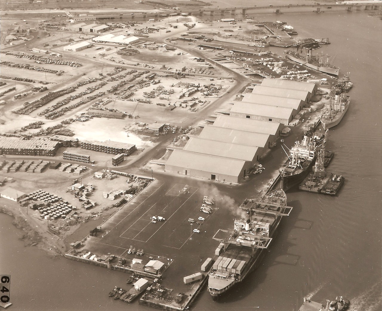
20. Newport (Saigon)-Close-up view. This is the draft concrete wharf. The 4 berths have a combined length of 2,400 feet; the 8 transit sheds have a total floor space of 192,000SF.
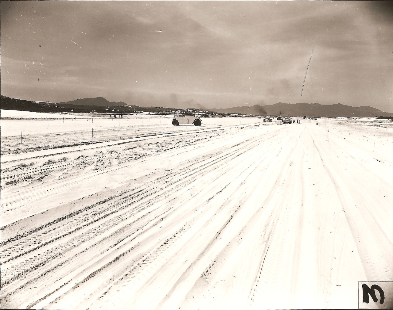
2 l. Cam Ranh Airfield-Site Preparation. Photograph shows the prevalence sandy character of the Cam Ranh peninsula. The site is being prepared for a 10,000' expeditionary runway and taxiway. A critical factor during construction was the attainment of sand compaction to successfully support the runway/taxiway and to be able to withstand the repeated aircraft landings. Based on extensive tests, the critical problem was resolved by flooding the area for 24 hours and then compacting with a vibrator compactor.
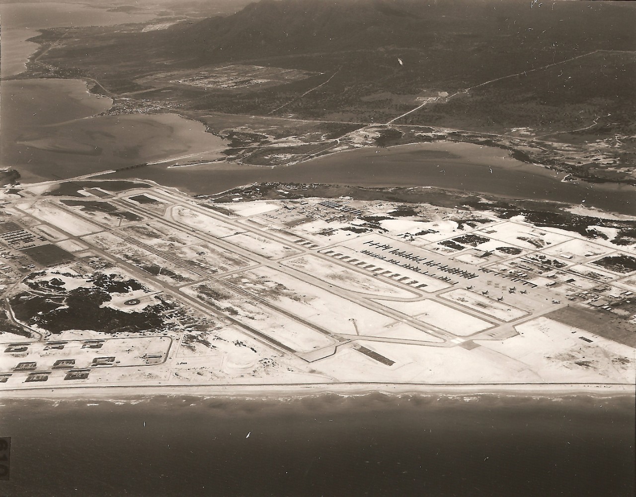
22. Cam Ranh Airfield-Completed. The 17-mile Cam Ranh Peninsula is characterized by rolling sand dunes. The original 10,000' interim (expeditionary) runway/taxiway was constructed of AM-2 (aluminum matting), shown in the left half of the airfield in the photo. A parallel permanent 10,000' concrete runway/taxiway was then added to complete the basic airfield.
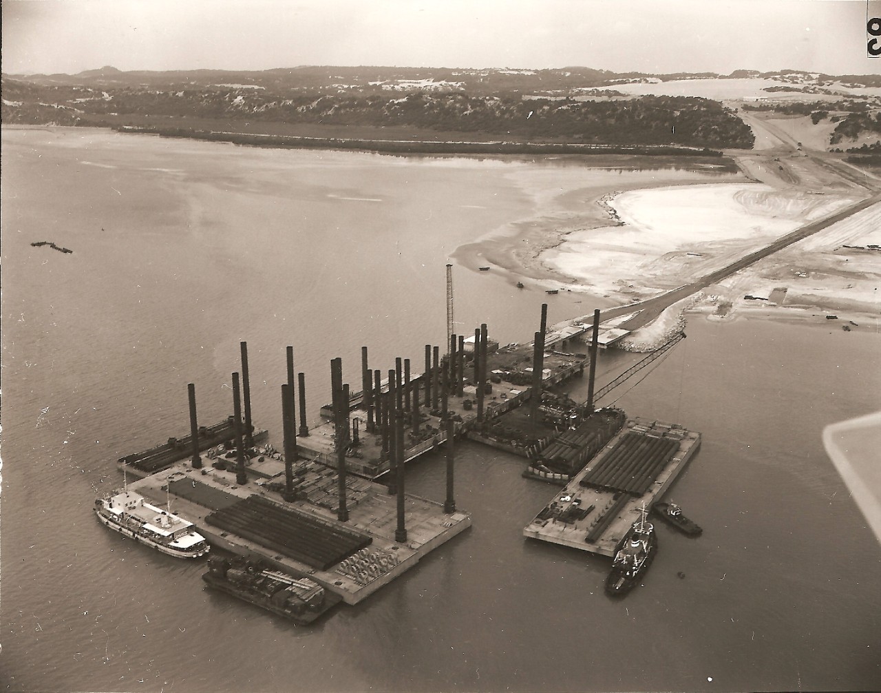
23. DeLong Pier-Cam Ranh Bay. The U.S. Army had procurement responsibility for the Delong prefabricated pier - an advanced base type of pier-shown here in process of installation. The OICC/Contractor assisted in preparing sites for such installations building bulkheads; providing dredge fill for causeways; supplying equipment and personnel as needed. Delong piers were also installed at DaNang and Qui Nhon.
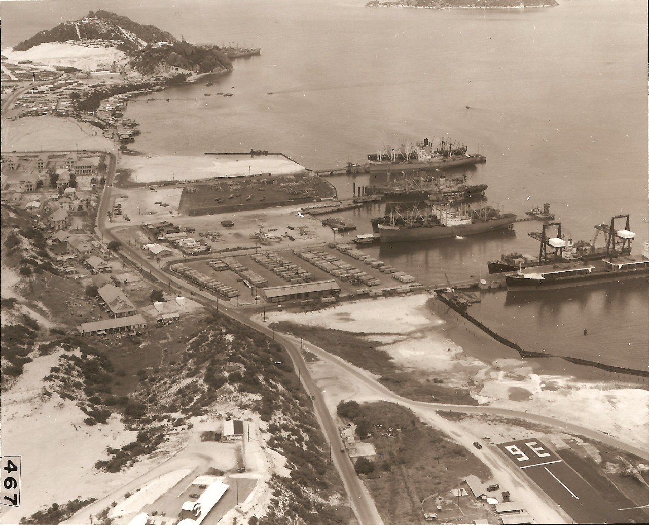
24. Cam Ranh Bay Port Facility. A deep-draft pier of steel pile construction, 400' long by 45' wide, was built in 1963 by RMK. Between 1965 and 1967, the Cam Ranh Port evolved into the extensive facility shown in the photo. By May 1967, the Port could handle, simultaneously, 8 deep-draft cargo vessels, plus one POL tanker. Army troop units installed the sheet-pile bulkheads and stabilized the contractor-dredged fill for use as staging areas. Three of the piers are of the DeLong type.
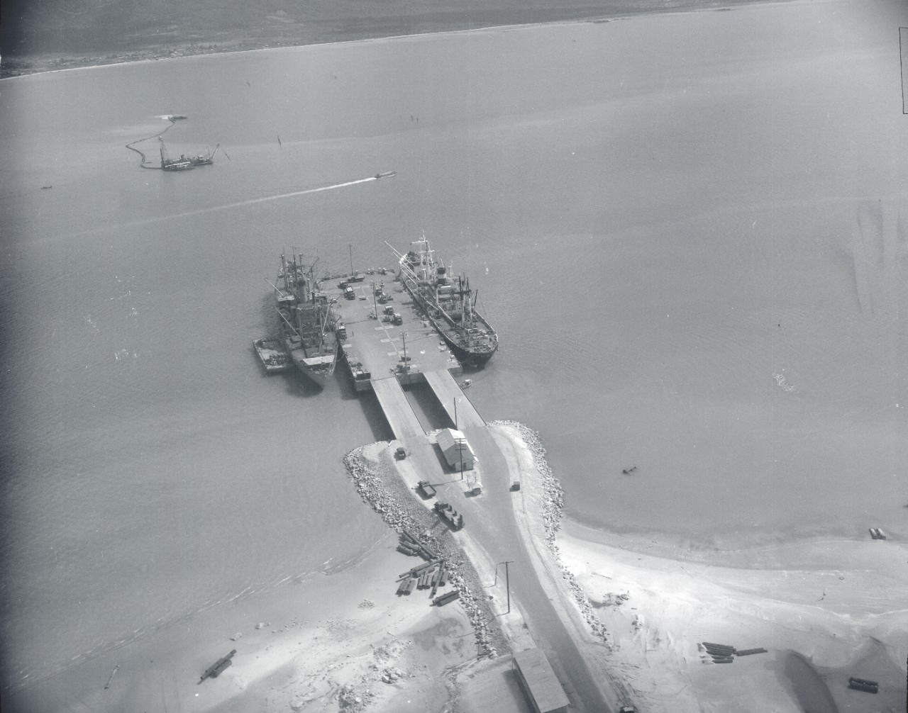
25. Ammo Pier at Cam Ranh Bay. Photo shows construction completed on the 3,600' earth causeway. Installation is underway to form a DeLong deep-draft ammunition pier that will measure 450' long by 120' wide. The new facility will be capable of simultaneously handling two C-3 class freighters at its 2 berths.
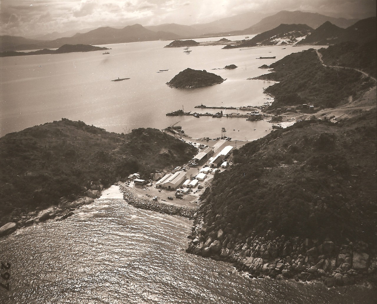
26. MARKET TIME Facility-Cam Ranh Complex. "Market Time" is a coastal patrol operation. There were 6 such installations along the South Vietnam coastline, all relatively self-sufficient. They consisted basically of repair and maintenance shops, floating dry docks, pontoon piers, crane pads, POL storage, utilities, and roads. This is the Market Time site at Cam Ranh Bay.
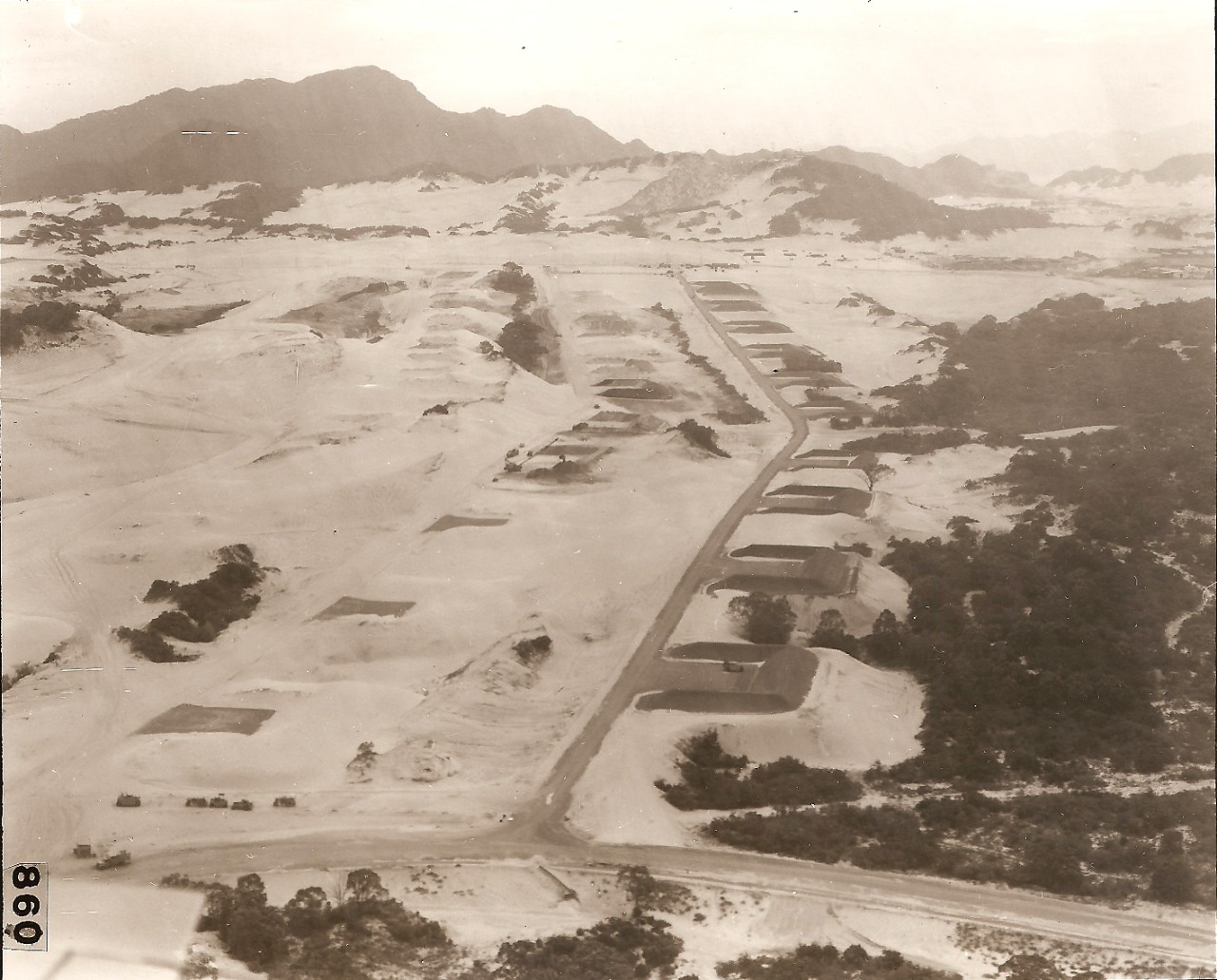
27. U.S. Army Ammo Supply Point at Cam Ranh Complex. The problem of construction in a sand dune environment is obvious here. Both the open and revetted hardstands measure 50' X 128' X 8'. The revetments go around 3 sides and are 12' high.
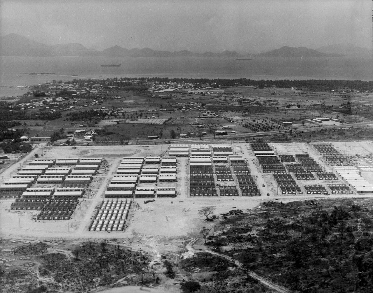
28. USAID Housing at Cam Ranh Complex. Construction of Community Housing at Cam Ranh Bay for Vietnamese tenants. Included in the Project were an Administrative Building, Fire Station, Elementary School, and Market Building; also, sewage collection and treatment, water supply and distribution, and power distribution.
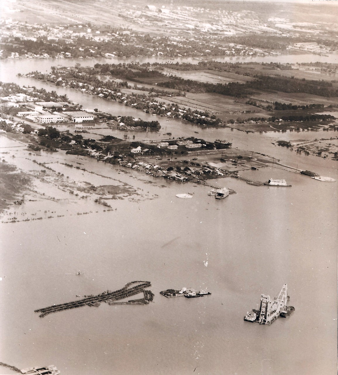
29. Dredging Operation at My Tho. Scope of the work was to reclaim 600 acres of land by hydraulic filling, and to dredge an LST and LCM turning basin at Dong Tam-about 4 miles west of the city of My Tho. A grand total of 7.3 million cubic yards was pumped by the following dredges: CHO GAO:2.3 million CY; JAMAICA BAY 2.3 million CY; HYUN DAI HO: 1.2 million CY; and the NEW JERSEY:1.5 million CY.
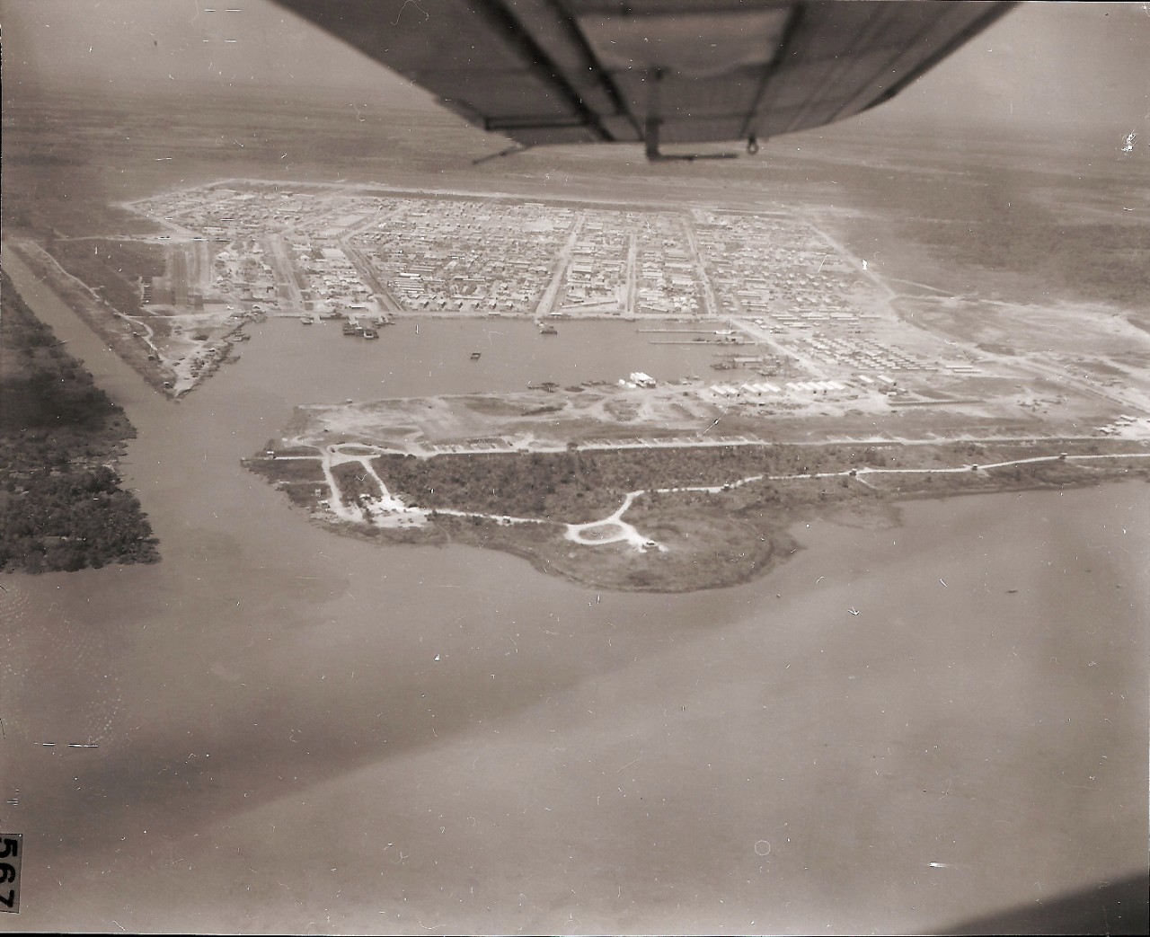
30. Dong Tam Port Facilities. This is a man-made port. It provided an I.ST turning basin and mooring ramp, a small boat turning basin and docking berths, and a repair basin. The dredged material served to reclaim 600 acres of land to form the built-up area surrounding the port.
Published: Mon Jan 30 18:35:59 EST 2017


