Scorpion Image Gallery
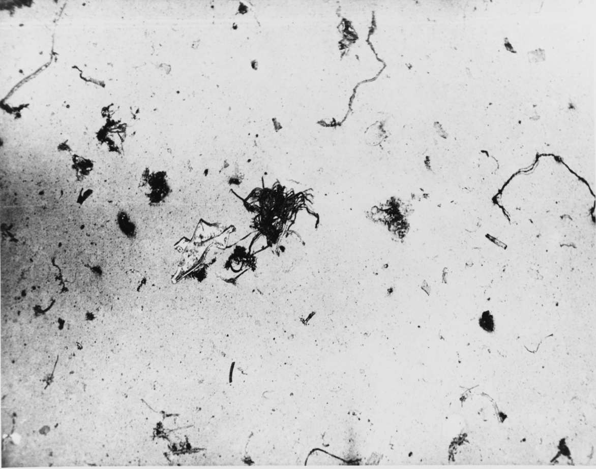
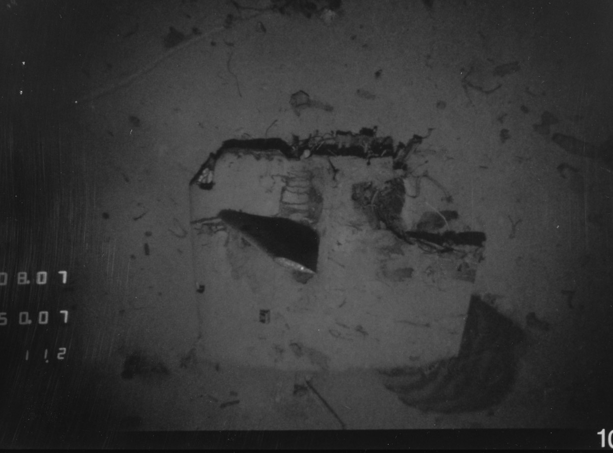
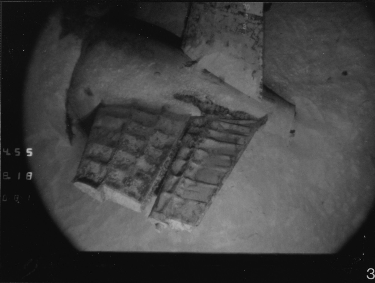
Debris located on the bottom of the ocean floor in the area 400 miles southwest of the Azores Islands where Scorpion (SSN-589) was located. This photograph was probably taken when Scorpion was located by USNS Mizar (T-AGOR-11) in October 1968 on the Atlantic Ocean floor 10,000 feet deep. U.S. Naval History and Heritage Command photograph, NH 97218.
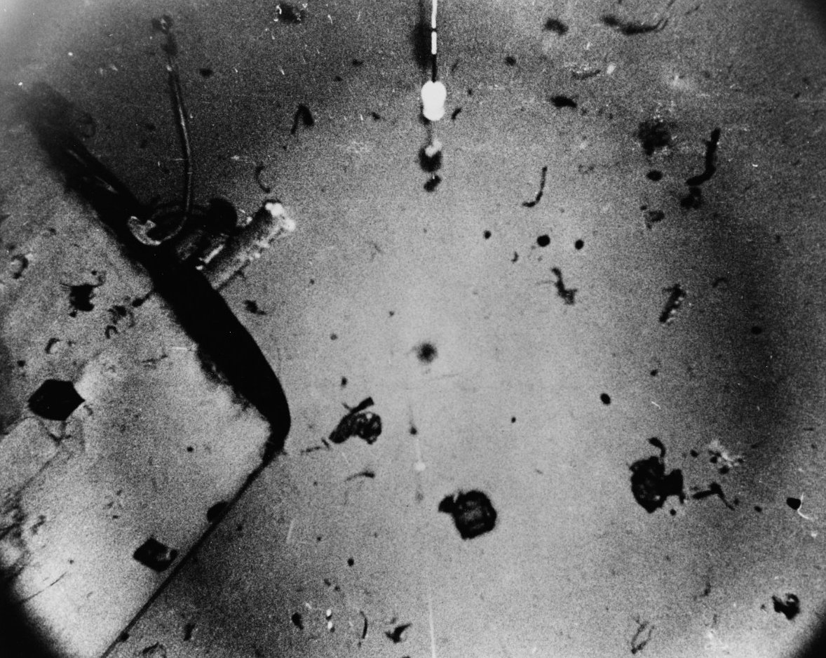
View of the sunken submarine's sail, probably taken when Scorpion (SS-589) was located by USNS Mizar (T-AGOR-11) in October 1968 on the Atlantic Ocean floor 10,000 feet deep, some 400 miles southwest of the Azores. This image shows the starboard side of the sail with its after end at top left and the starboard access door in lower left. Debris is on the ocean bottom nearby. The device in top center is part of the equipment used in locating and photographing the wreckage. Official U.S. Navy photograph, USN 1136656.
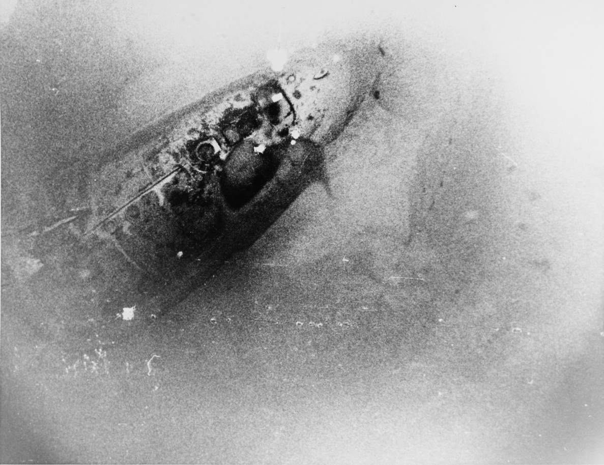
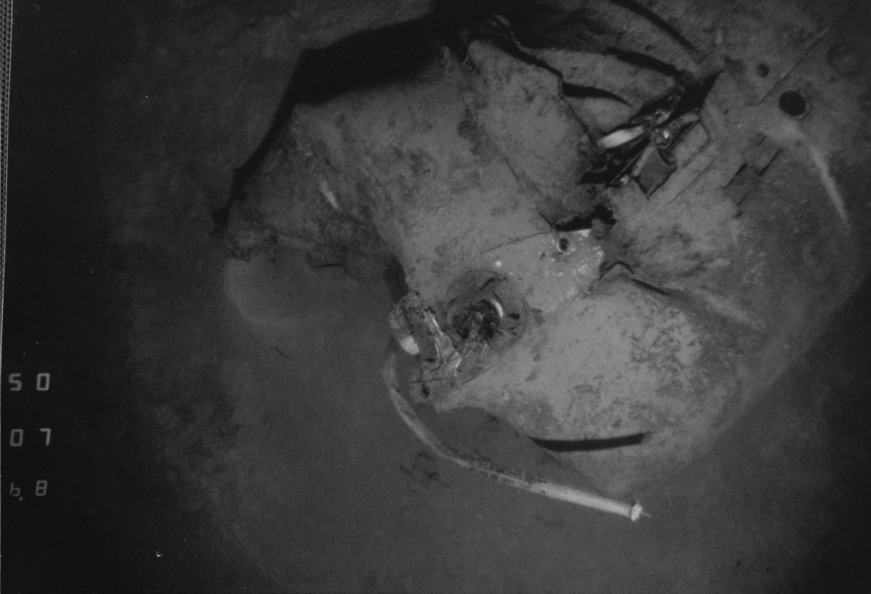
View of the sunken submarine's bow section, on the Atlantic Ocean floor 10,000 feet deep, some 400 miles southwest of the Azores. Probably taken when Scorpion (SS-589)was located by USNS Mizar (T-AGOR-11) in October 1968. This image shows the top of the bow section, from the vicinity of the sail (which has been torn off)at left to the tip of the bowat top center. The torpedo room hatch is visible about half-way along the length of this hull section, with a lifeline track running aft from it. Official U.S. Navy photograph, USN 1136658.
Wreck of USS Scorpion (SSN-589) at the depth 10,000 feet, 400 miles southwest of the Azores. The starboard fairwater plane is visible protruding from the sail. Masts are visible extending from the top of the sail (located at the lower portion of the photograph). A large segment of the after section of the sail, including the deck access hatch, is missing. Various articles from the operations compartment are scattered in this vicinity. U.S. Naval History and Heritage Command photograph, NH 97223-KN.
Wreck of USS Scorpion (SSN-589) 400 miles Southwest of the Azores. Forward compartment of Scorpion where it rests on the ocean floor in more than 10,000 feet of water. A portion of a periscope protrudes from the hull, and its shadow is visible on the hull. U.S. Naval History and Heritage Command photograph, NH 97222-KN.
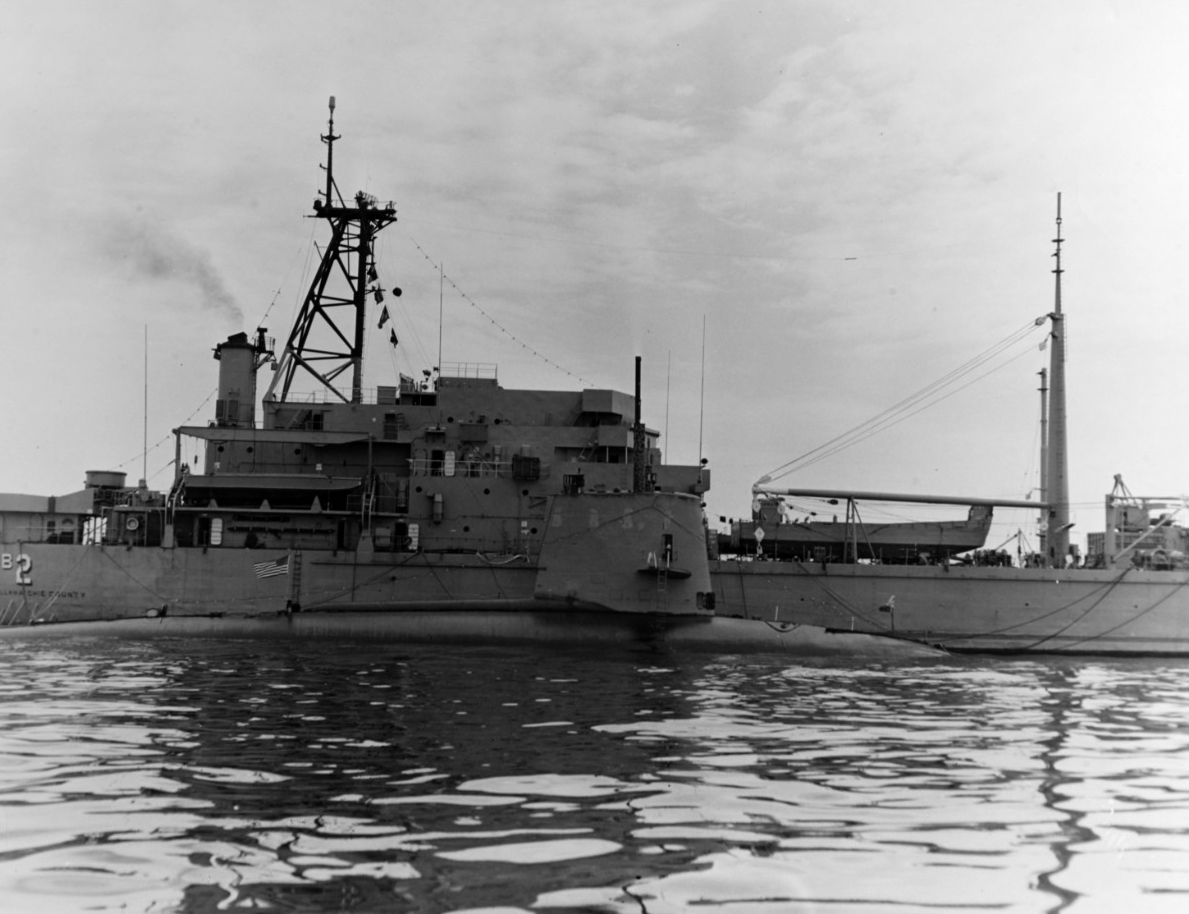
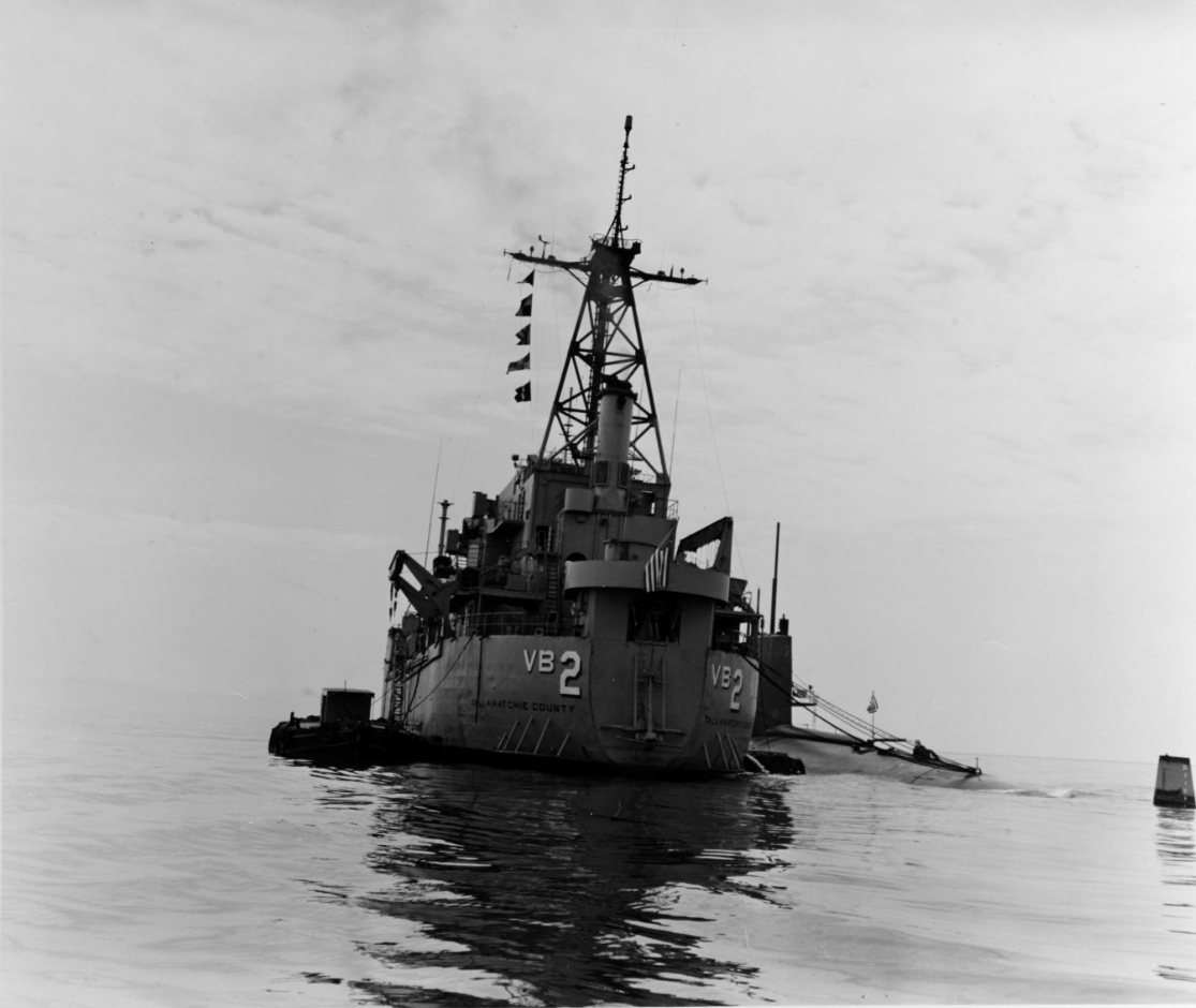
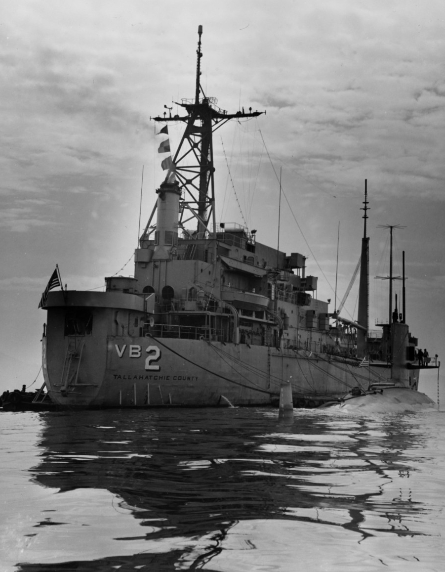
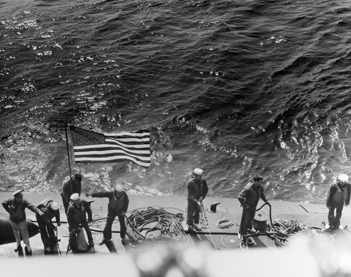
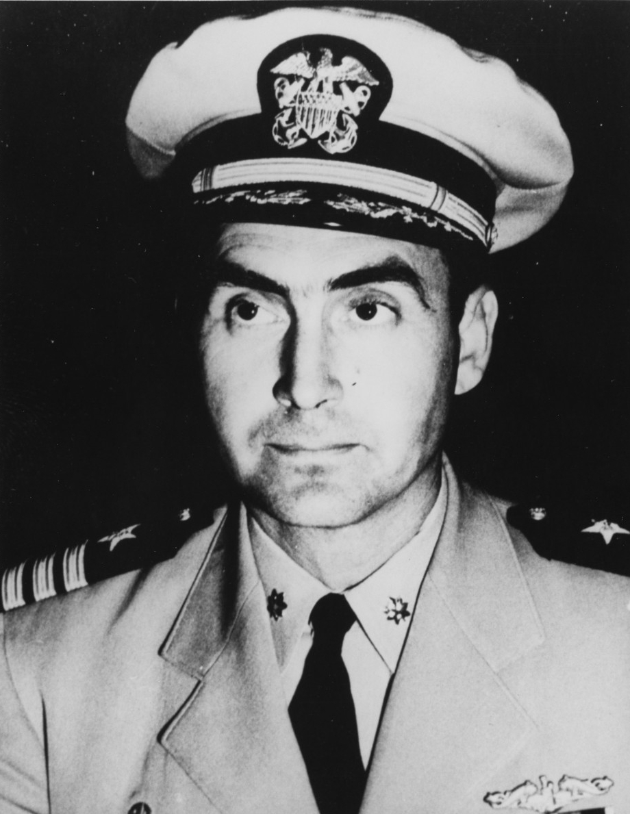
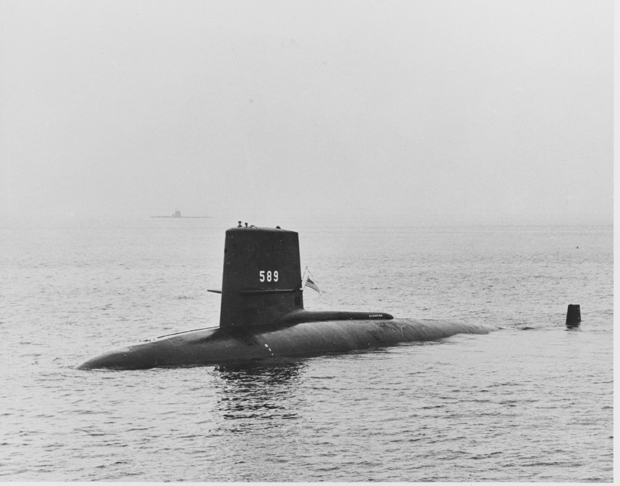
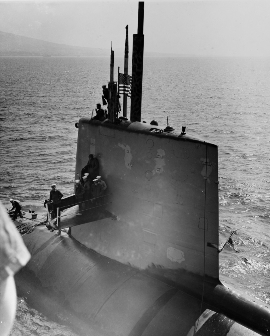
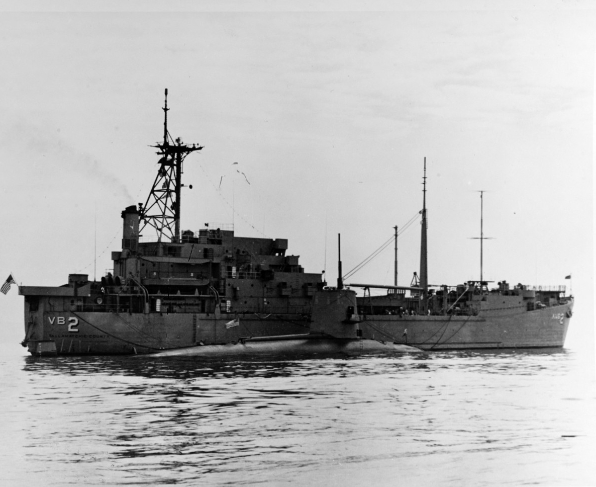
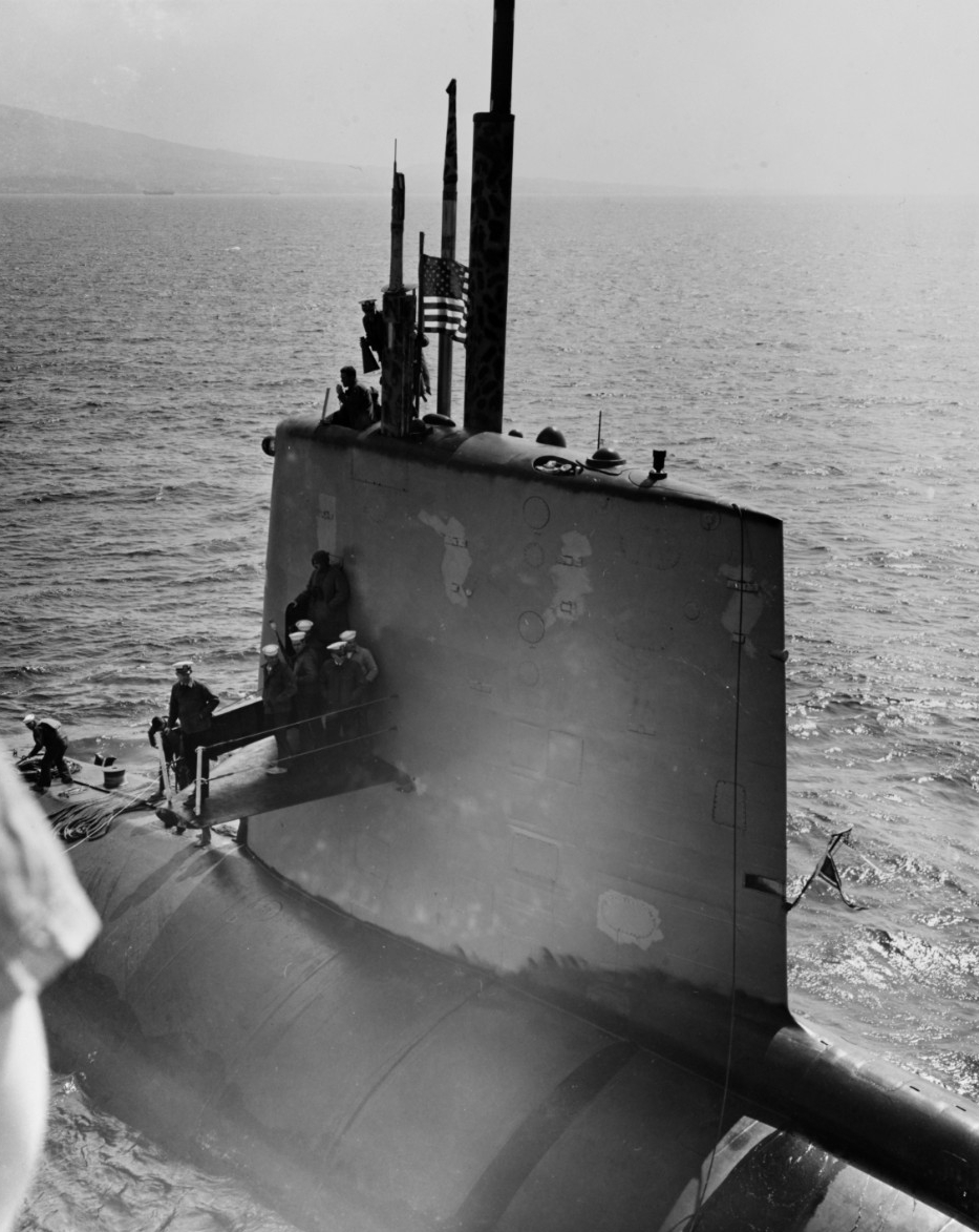
USS Scorpion (SSN-589) came alongside USS Tallahatchie County (AVB-2) outside Claywall Harbor, Naples, Italy, 10 April 1968. The submarine's commanding officer, Commander Francis A. Slattery, was atop her sail, holding a megaphone. Scorpion was lost with all hands in May 1968 while returning to the U.S. from this Mediterranean deployment. U.S. Naval History and Heritage Command photograph, NH 70304.
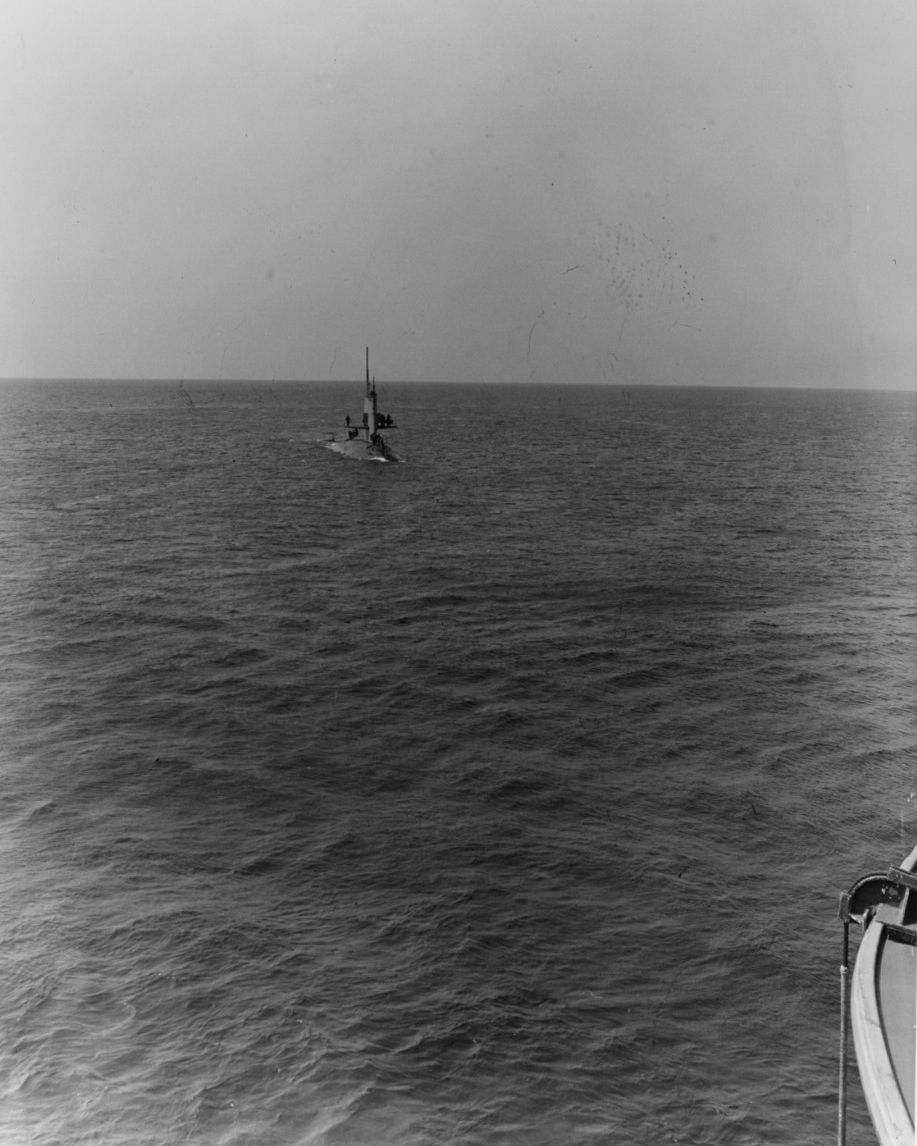
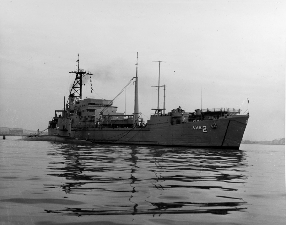
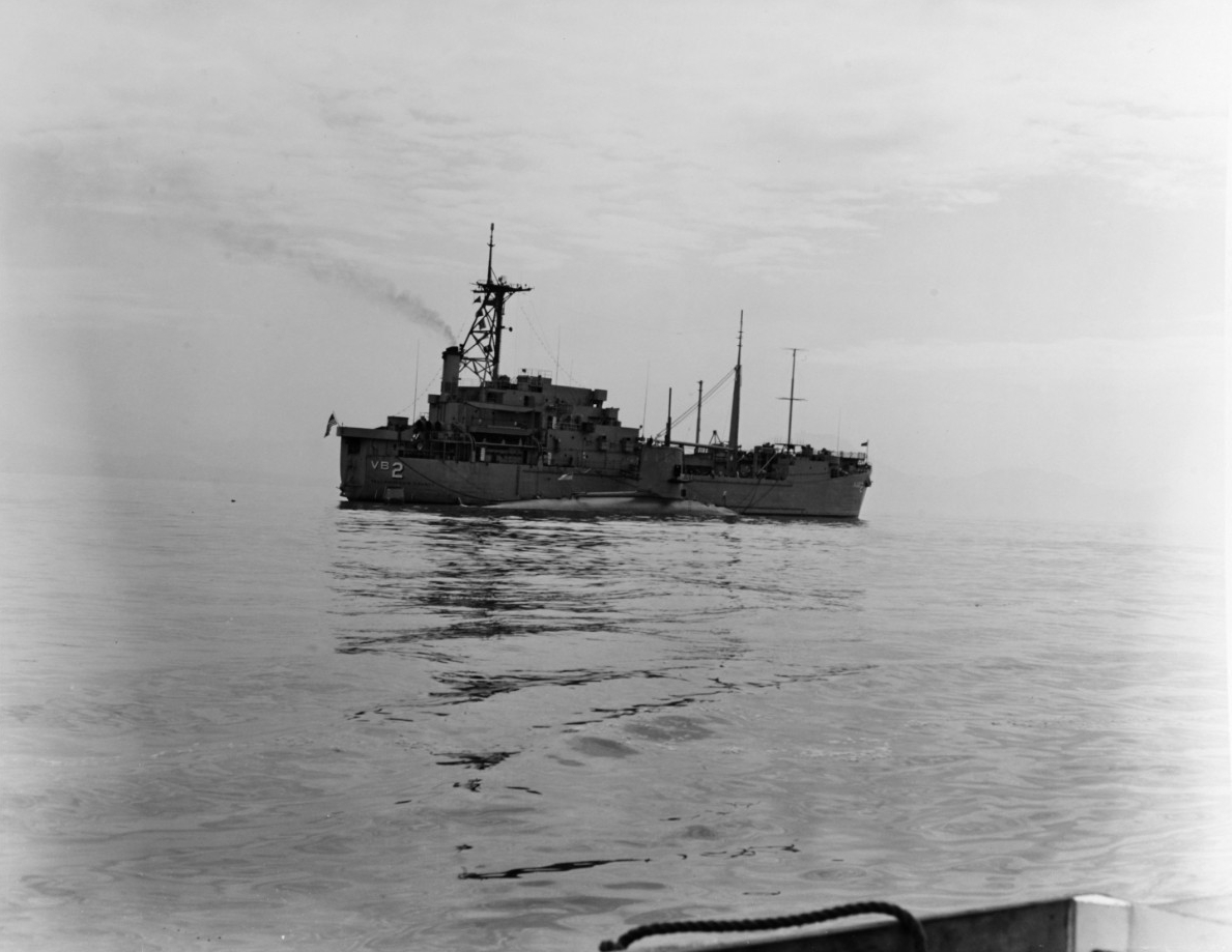
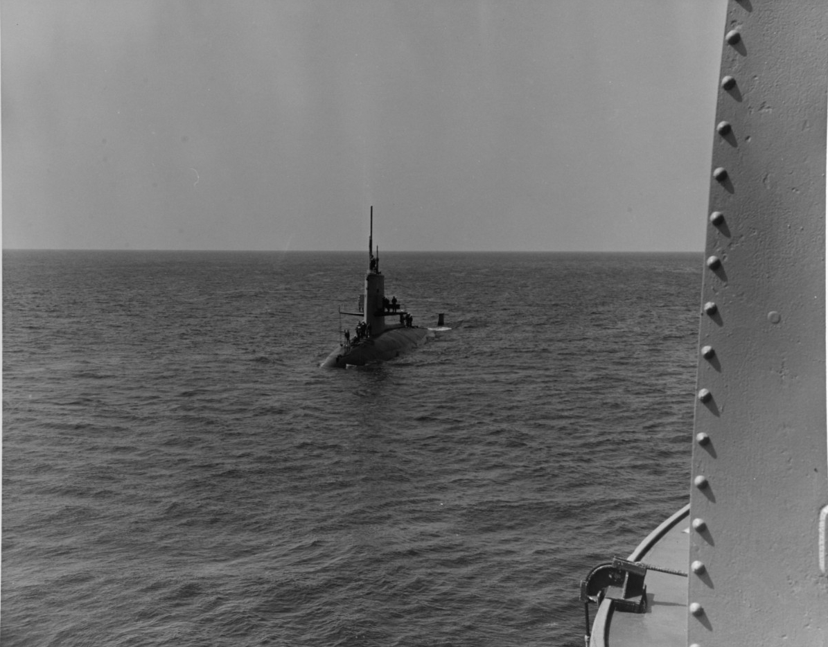
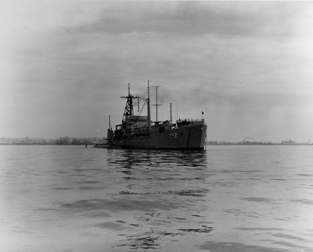
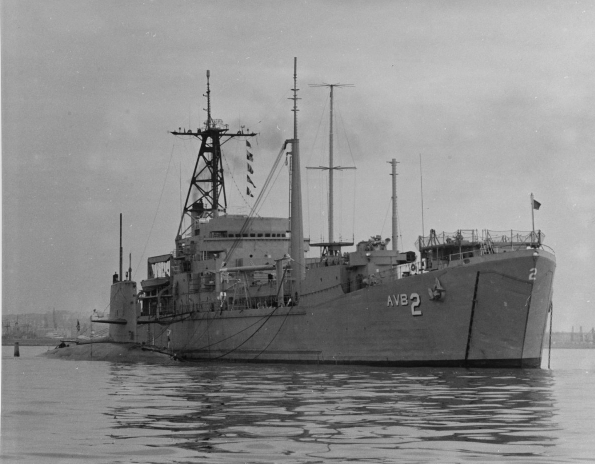
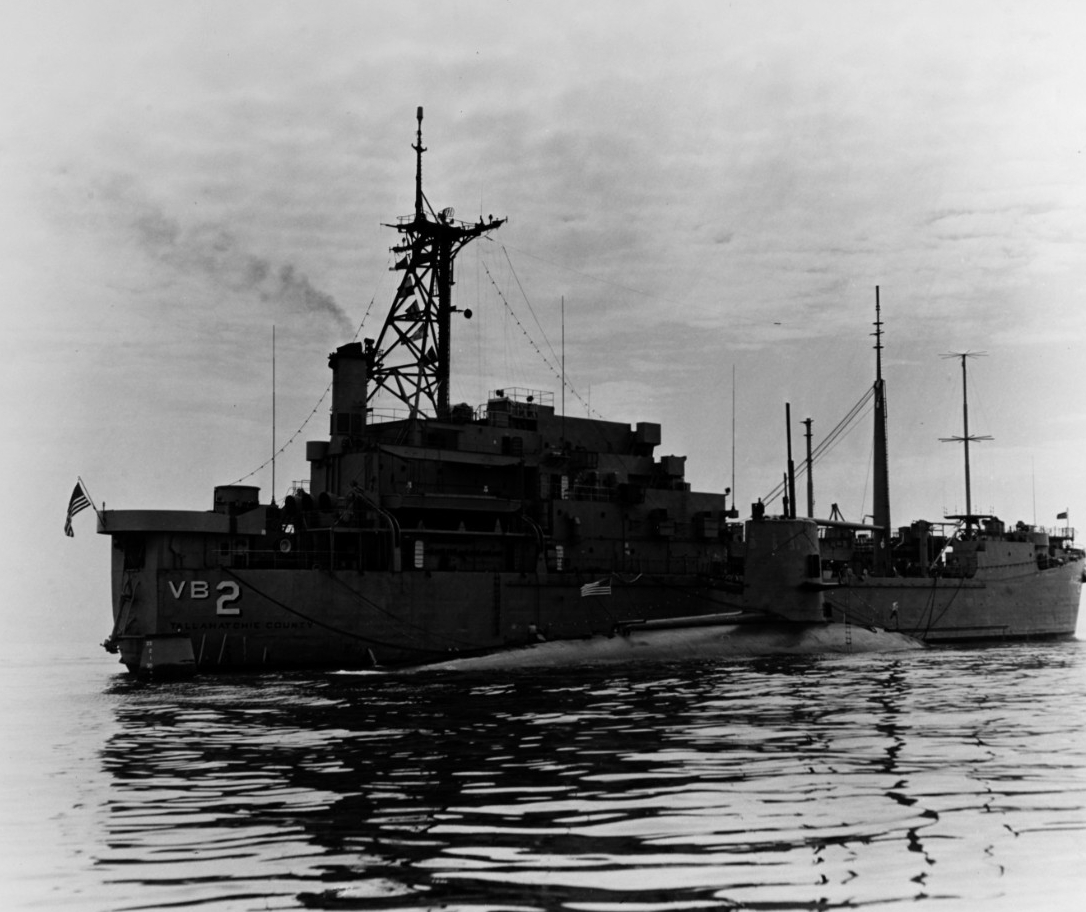
USS Scorpion (SSN-589) prepared to come alongside USS Tallahatchie County (AVB-2) outside Claywall Harbor, Naples, Italy, 10 April 1968. Scorpion was lost with all hands in May 1968 while returning to the U.S. from a Mediterranean deployment. U.S. Naval History and Heritage Command photograph, NH 70309.
USS Scorpion (SSN-589) alongside USS Tallahatchie County (AVB-2) outside Claywall Harbor, Naples, Italy, 10 April 1968. The submarine's commanding officer, Commander Francis A. Slattery, is atop her sail holding a megaphone. Scorpion was lost with all hands in May 1968 while returning to the U.S. from a Mediterranean deployment. U.S. Naval History and Heritage Command photograph, NH 70304.
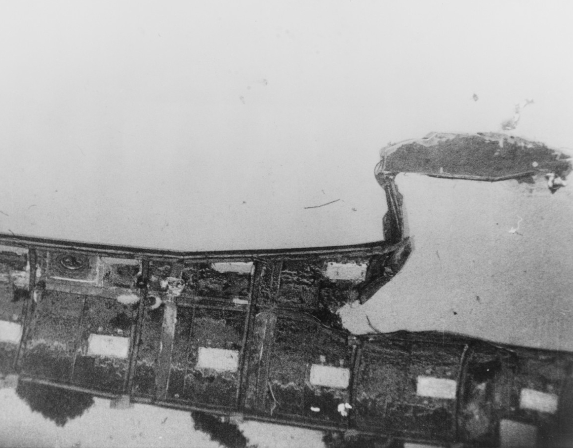
Damaged section of Scorpion's (SS-589) snorkel exhaust piping fairing. The rectangle white areas are zinc plates attached to the fairing to retard corrosion. This section is referred to as the 'turtleback' of this class submarine. This photograph was probably taken when Scorpion was located by USNS Mizar (T-AGOR-11) in October 1968, on the Atlantic Ocean floor 10,000 feet deep, some 400 miles southwest of the Azores. U.S. Naval History and Heritage Command photograph, NH 97217.
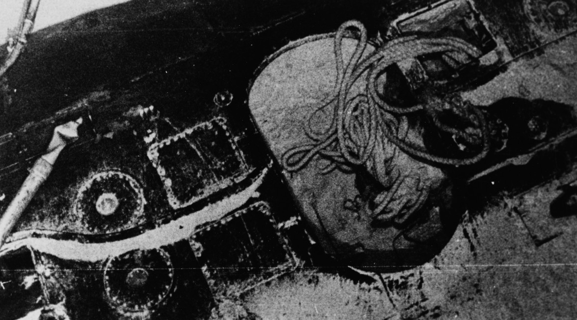
Section of the sunken submarine's hull, on the Atlantic Ocean floor 10,000 feet deep, some 400 miles southwest of the Azores. Probably taken when Scorpion (SS-589) was located by USNS Mizar (T-AGOR-11) in October 1968. This image shows the top of the hull, aft of amidships. The large oval opening is the stowage bay for the messenger bouy. Also visible are circular ballast tank vents, two rectangular access hatches into the superstructure and damaged snorkel exhaust piping. Official U.S. Navy photograph, USN 1136662.
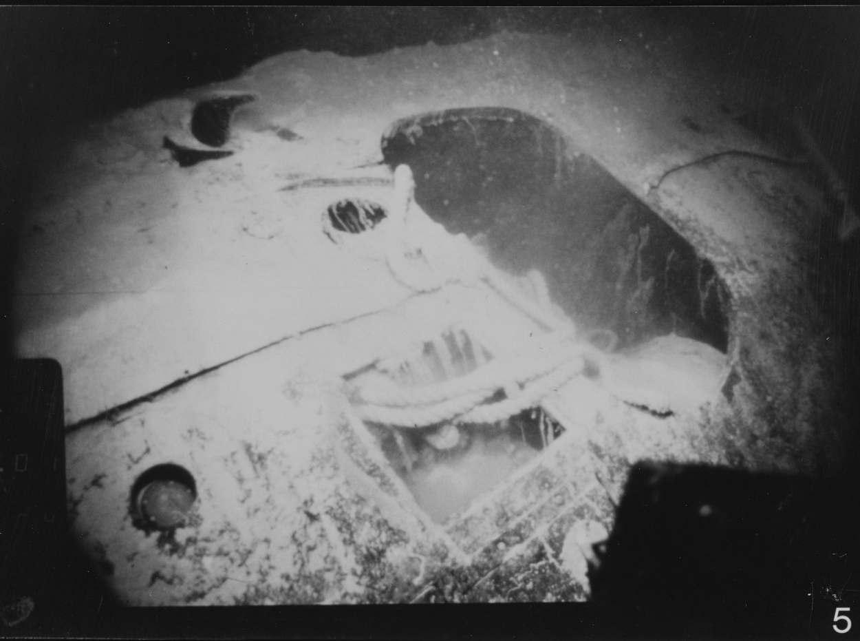
Wreck of USS Scorpion (SSN-589) 400 miles southwest of the Azores. The after messenger bouy cavity from the Scorpion resting on the ocean floor in more than 10,000 feet of water. The messenger bouy is used to mark the position of the escape hatch of a distressed submarine. This area was also used to store mooring line, some of which is visible protruding from the hatch. U.S. Naval History and Heritage Command photograph, NH 97224-KN.
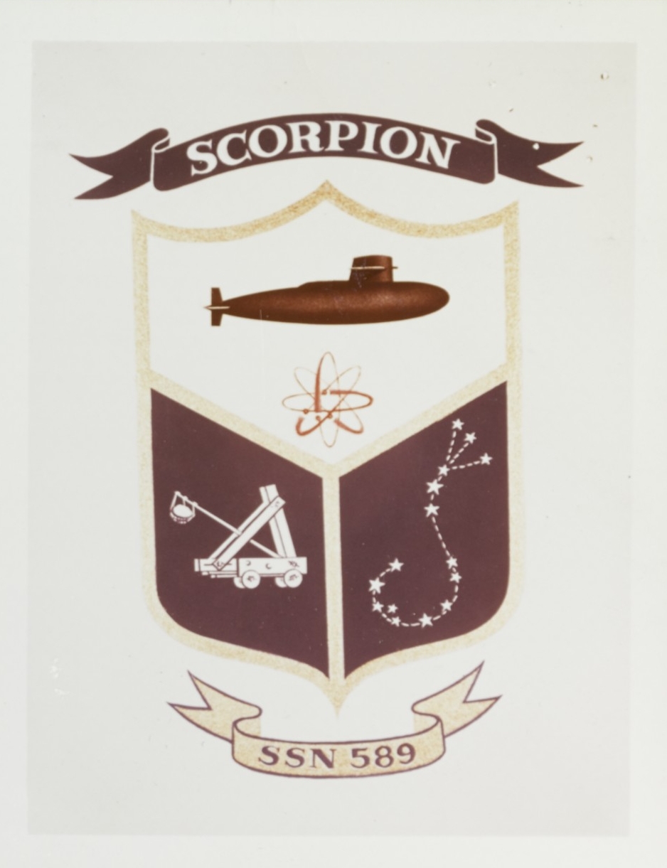
Insignia of USS Scorpion (SSN-589) adopted in 1960. Within the shield are four symbols, representing: Scorpion's streamlined hull design; her nuclear powerplant; the ancient rock-throwing machine known as a scorpion; and the stellar constellation Scorpio, the Scorpion. U.S. Naval History and Heritage Command photograph, NH 64889-KN.
