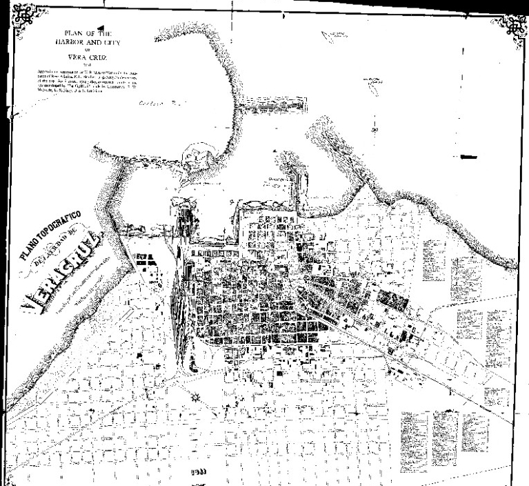
Map of the U.S. Navy's Capture of Veracruz, 21–22 April 1914

Download Image:
Low (PNG, 319x319px, 29KB)
Med (JPEG, 1280x1280px, 213KB)
High Res (JPEG, 29084x20078px, 24MB)
Low (PNG, 319x319px, 29KB)
Med (JPEG, 1280x1280px, 213KB)
High Res (JPEG, 29084x20078px, 24MB)
Title:
Caption:
Topic
- Boats-Ships--Amphibious Warfare Ships
- Exploration, Expeditions and Voyages
Document Type
- Map
Wars & Conflicts
- Latin American Campaigns 1906-1933
Navy Communities
File Formats
- Image (gif, jpg, tiff)
Location of Archival Materials
- NHHC
Recipient Name


