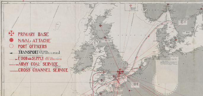

Maps - Navy Department Library
A selection of maps from the Navy Department Library's Special Collections
All maps are captured at 300 DPI in TIFF format. Download images to view their full resolution.

Published: Tue Aug 11 07:44:33 EDT 2015


