Intelligence by Land, Sea, and Air
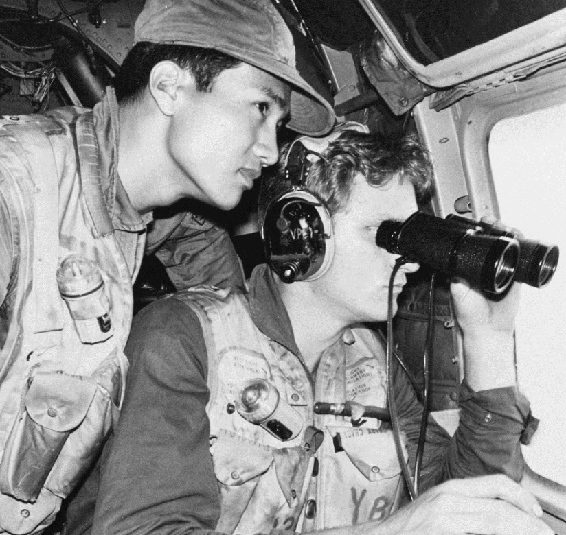
Naval operatives gathered intelligence throughout Southeast Asia. On shore, Naval Intelligence Liaison Officers (NILOs) and SEAL units gathered information from combat units, enemy soldiers, and local villagers. Shore-based intelligence proved crucial in support of riverine forces in the Mekong Delta.
In the skies, naval aircraft photographed enemy positions and monitored enemy activity. Their capabilities included wide angle lenses, night vision, radar, infrared cameras and electronic intercepts. Reconnaissance aircraft such as the RA-5 Vigilante photographed supply routes, harbors, air defense sites, fuel depots, shore batteries and troop movements. Analysts reviewed these photos to select targets and to evaluate the effectiveness of air strikes. The information they collected provided evidence of North Vietnamese infiltration into South Vietnam using the Ho Chi Minh Trail. The Navy also used maritime patrol aircraft such as the P-3 Orion to track suspicious North Vietnamese vessels moving south.
At sea, destroyers and other surface ships collected intelligence while cruising off the coast of Vietnam. In the early 1960s these vessels surveyed beaches for possible landing sites and patrolled the coast for infiltration locations. South Vietnamese naval forces landed troops to raid these sites while U.S. Navy ships with electronic intelligence gear (ELINT) recorded enemy transmissions. ELINT obtained information on North Vietnam’s integrated air defense system. The data on locations, types, ranges, and frequencies of these systems allowed U.S. forces to develop countermeasures and “jam” enemy radar. As a result, U.S. aircraft could escape detection and avoid enemy surface-to-air missiles.


