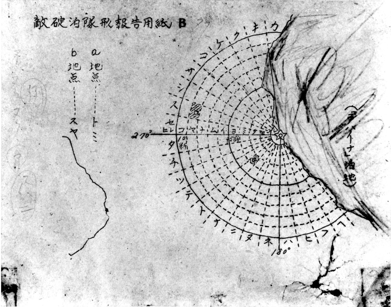
80-G-3914 Japanese Chart of Lahaina Anchorage

Download Image:
Low (PNG, 319x319px, 88KB)
Med (JPEG, 1280x1280px, 433KB)
High (TIFF, 5705x4479px, 24MB)
Low (PNG, 319x319px, 88KB)
Med (JPEG, 1280x1280px, 433KB)
High (TIFF, 5705x4479px, 24MB)
Description:
Topic
Document Type
- Photograph
Wars & Conflicts
Navy Communities
File Formats
- Image (gif, jpg, tiff)
Location of Archival Materials
Recipient Name


